Projects

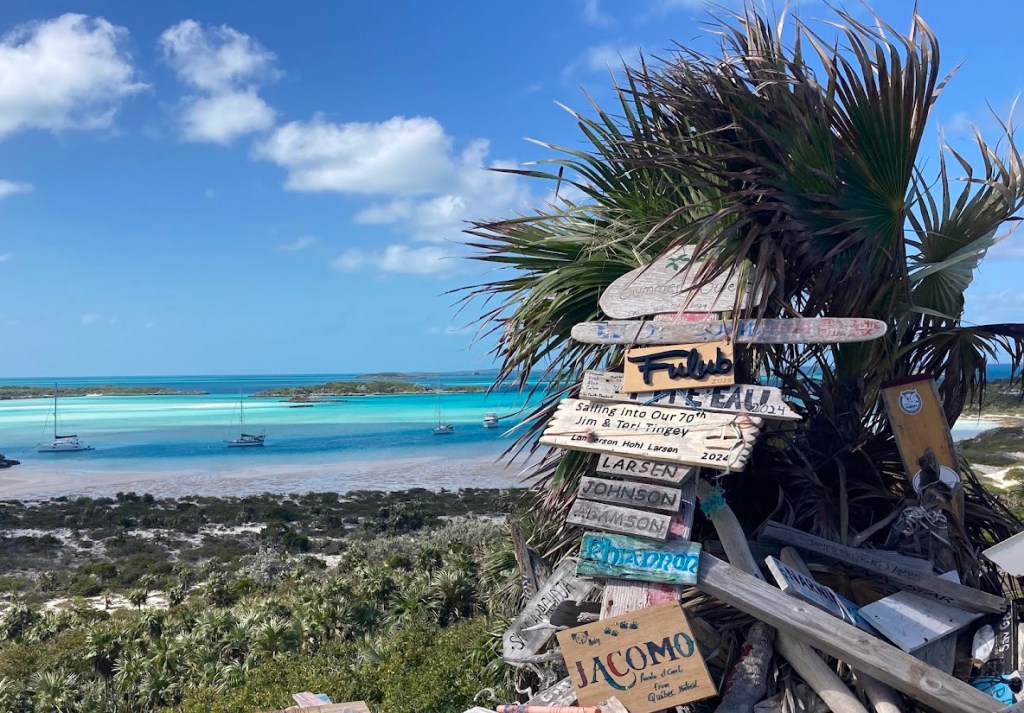
In 2026, Allegra and crew will participating in some fun and volunteering projects in the Bahamas.

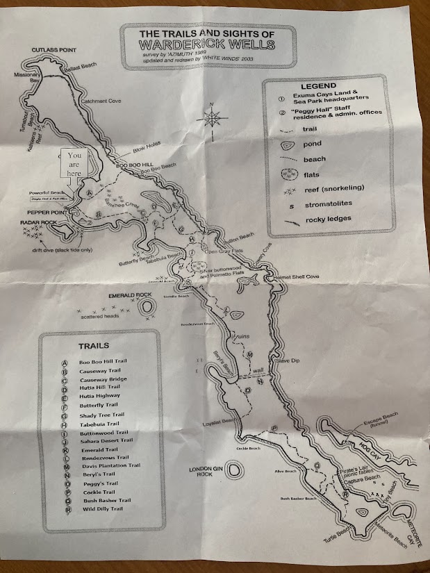
The first project will involve coordinated efforts with the Bahamas National Trust to map, mark and repair trails in the Exuma Cays Land And Sea Park. Estimated date for this project is now set for mid March (Starting 15-20).

We invite other cruisers, local Bahamians or anybody who can get to this area in the Exumas to come and join us for volunteer help anytime during this week.

Project Description:

In coordination with Park Manager, we have decided to do these projects for the Park this year 2026.

MAP Project

Mapping of trail and creating an accurate and current island trail map and other park features. This map will be delivered as a PDF geo-spacial map offering both printable versions and on-device use to help navigate trails with device GPS. This will involve walking all the trails with a GPS device to record GPX files imported into a mail builder program. Other features of the island can be recorded including ocean and beach accesses and features. Looking for those with current online mapping skills to create a both PDF geospacial map for on device use and printable PDF map.

Starting to build online and off maps of trails to better map trails

An early draft version of the map is now available online at:

https://caltopo.com/m/DCM463M

Trail Maintenance

There are currently about 18 named trails on the island. We will review these trails and do some helpful trimming and marking of trails for better navigation using basic trimming and trail maintenance tools. Remarking of trails with spray paint marks for better navigation.

Trail Marking Signs

To aid the hiker of proper identification of trails entry points, some simple wood signs crafted out of locally sourced wood driftwood with routered letter signs will be created on site. (see example below)

Trail name signs will created on site using locally gathered drift and boards

The island and the trails have areas of both sand and dirt and other areas of sharp and rough limestone rock that can make hiking more challenging and requiring good navigational aids.

Many of the trails include rocky sections that are marked with paint.
Other sections of trail are more sandy and smoother trails and well defined.
Amazing quiet coves are found at the ends of trail and connections
Some signs currently exist
Wonderful views and several nice hikes can be enjoyed on the island.
An example idea of how the trail sign can be created locally with router and stencil and locally sourced driftwood.

Other cruisers are welcome to join us on this coordinated effort to make the islands trails more accessible to visitors. Please continue to visit this page for project updates.

Other Project volunteers and coordinators welcomed!

If you are interesting in either attending or helping to organize this fun and rewarding event, please email Scott at Scott@inet-sciences.com so we get your name and contact information for coordination and project planning.

The island and anchorage offers a wonderful place to hike and other water activities.
Current paper map of trails from 1989 updated in 2003
No Foreign Land map app of the park and trails – Additional info could be updated there
List of Trails currently defined from current printed map

Marketing Copy

To help get the word out about this event, below is a short marketing message and picture your can post on other facebook groups and or site to encourage folks to learn about this event. Please direct them back to this page for project details.

Copy and Paste Text Below

Exuma Cays Land And Sea Park Trail Mapping and Maintenance Project

Date: Mid March, 2026

Location: Waderick Wells, Exuma Cay Land and Sea Park

In mid March, a volunteer project for cruisers and locals in the area will be mapping, marking and trail maintenance work of trails at Exuma Cays Land and Sea Park.

Please visit the event website at: https://allegrasailing.blog/projects/ for details and contact information.